This container enables running a standalone ol-kit app with the ability to dynamically import layers from local files.
https://github.com/MonsantoCo/ol-kit
docker run -p 8000:80 1904labs/ol-kit:latest - clone this repository
docker build . -t ol-kit:latest
docker run -p 8000:80 ol-kit:latest If you want to run ol-kit in the npm test server in order to make and test changes to the React app, you can:
- install nodejs and npm
- clone this repository
- cd into the "app" directory
- npm start
If the image is not running launch it with
docker run -p 8000:80 1904labs/ol-kit:latest Once the image is running, to access the map open you browser and navigate to: http://localhost:8000
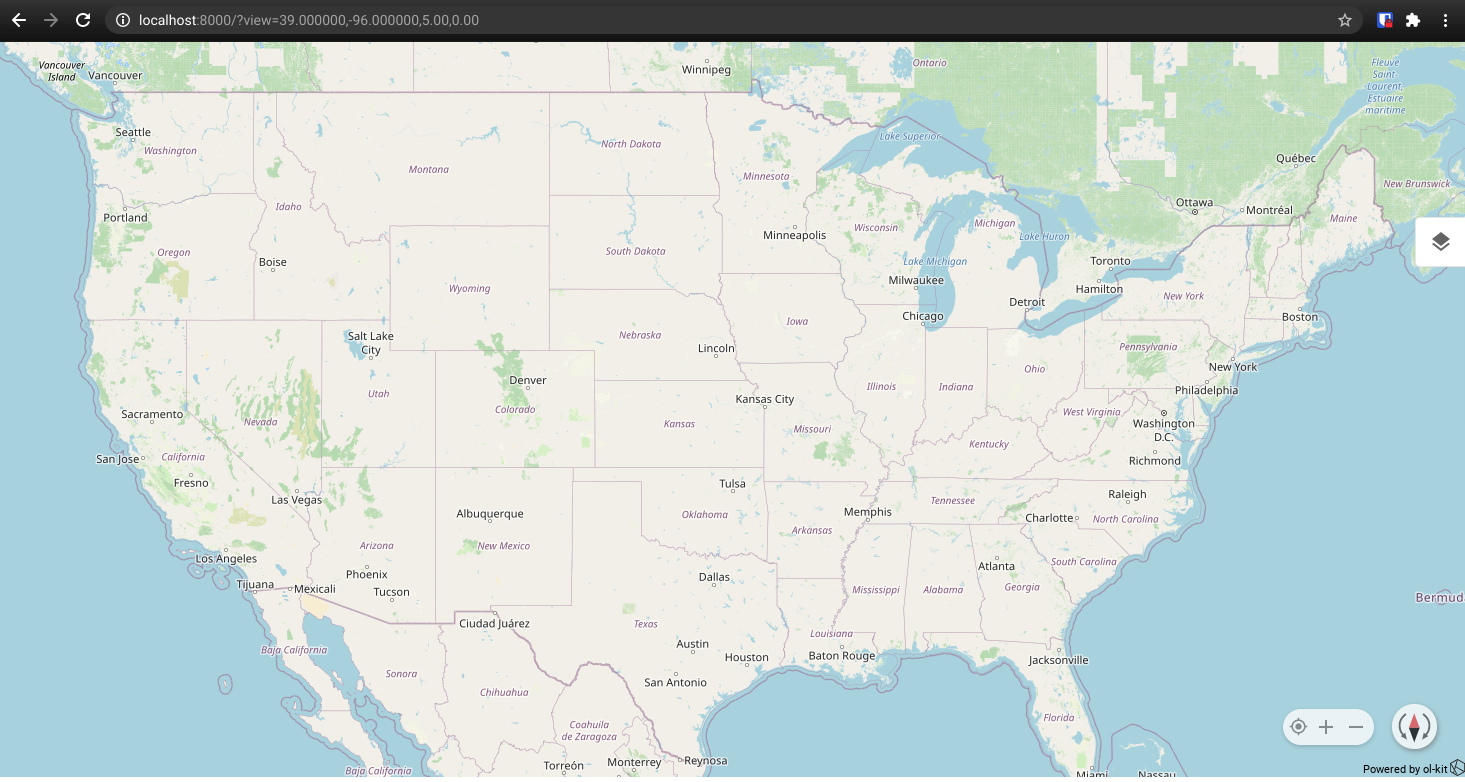
You should see the map centered on the United States:
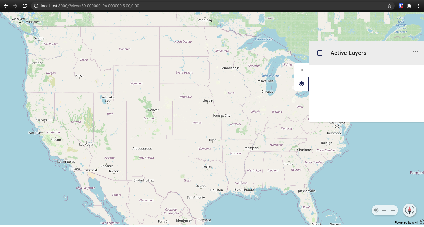
Next select the layers panel icon on the right side of the screen to open the layers panel
To import a layer first you will need something to import, for this example I downloaded these two files:
-
File 1: https://eric.clst.org/assets/wiki/uploads/Stuff/gz_2010_us_040_00_500k.json
- Associated ite link: https://eric.clst.org/tech/usgeojson/
-
File 2 https://datahub.io/core/geo-nuts-administrative-boundaries/r/nuts_rg_60m_2013_lvl_1.geojson1
- Associated Site Link: https://datahub.io/core/geo-nuts-administrative-boundaries#data
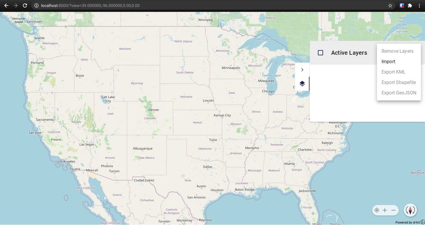
Once you have those files (or any other geojson or kml files you wish to import), Click the three button menu in the layers panel and select import.
After selecting import you can navigate in your computers file manager to the location you downloaded the files to and select the file gz_2010_us_040_00_500k.json, this will load the features layer to the map.
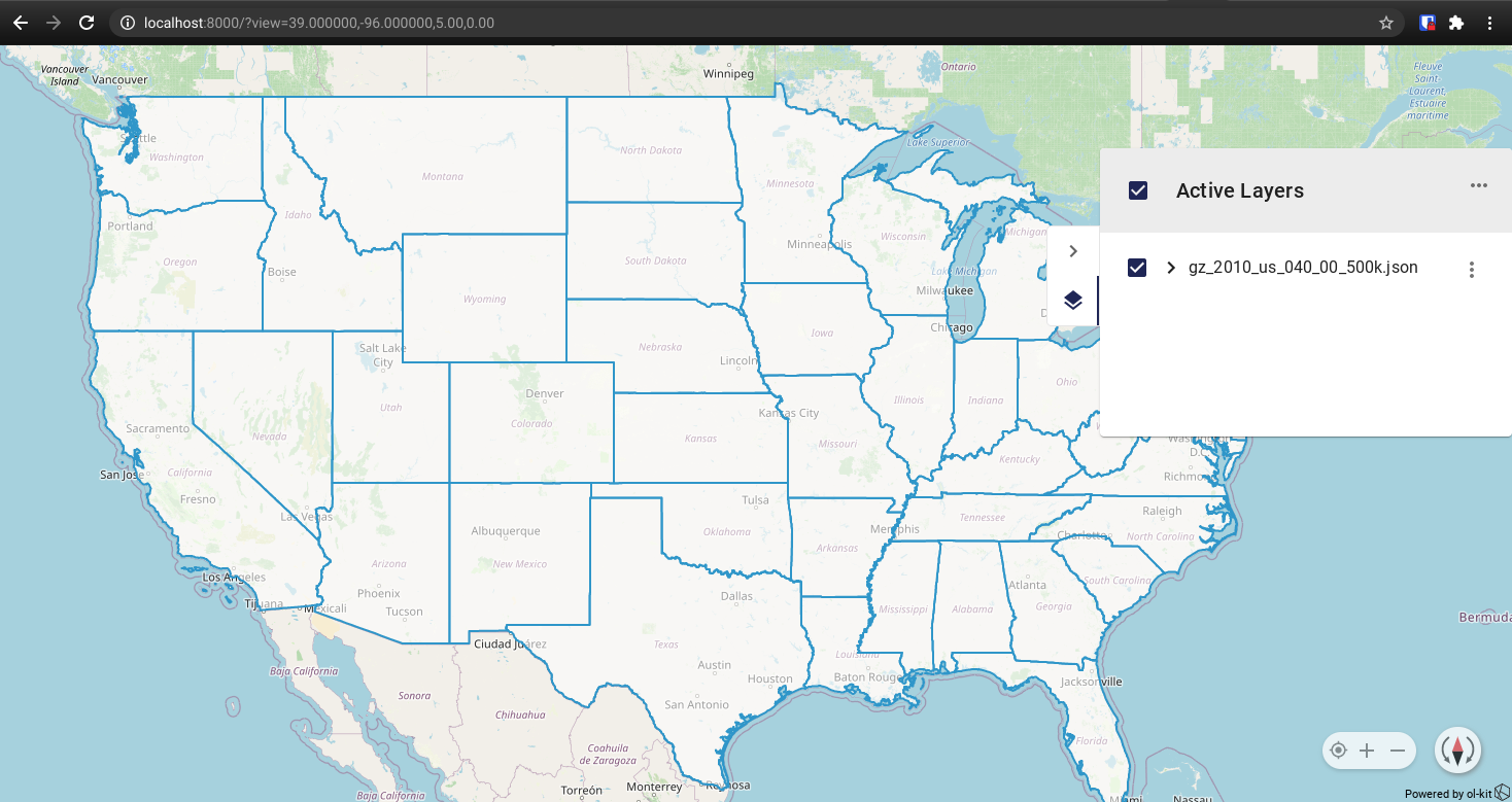
To zoom to the extent represented in the layer, click the three button menu next to that layer and select "Zoom to Layer Extent"
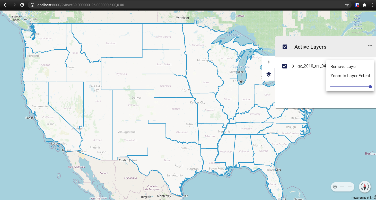
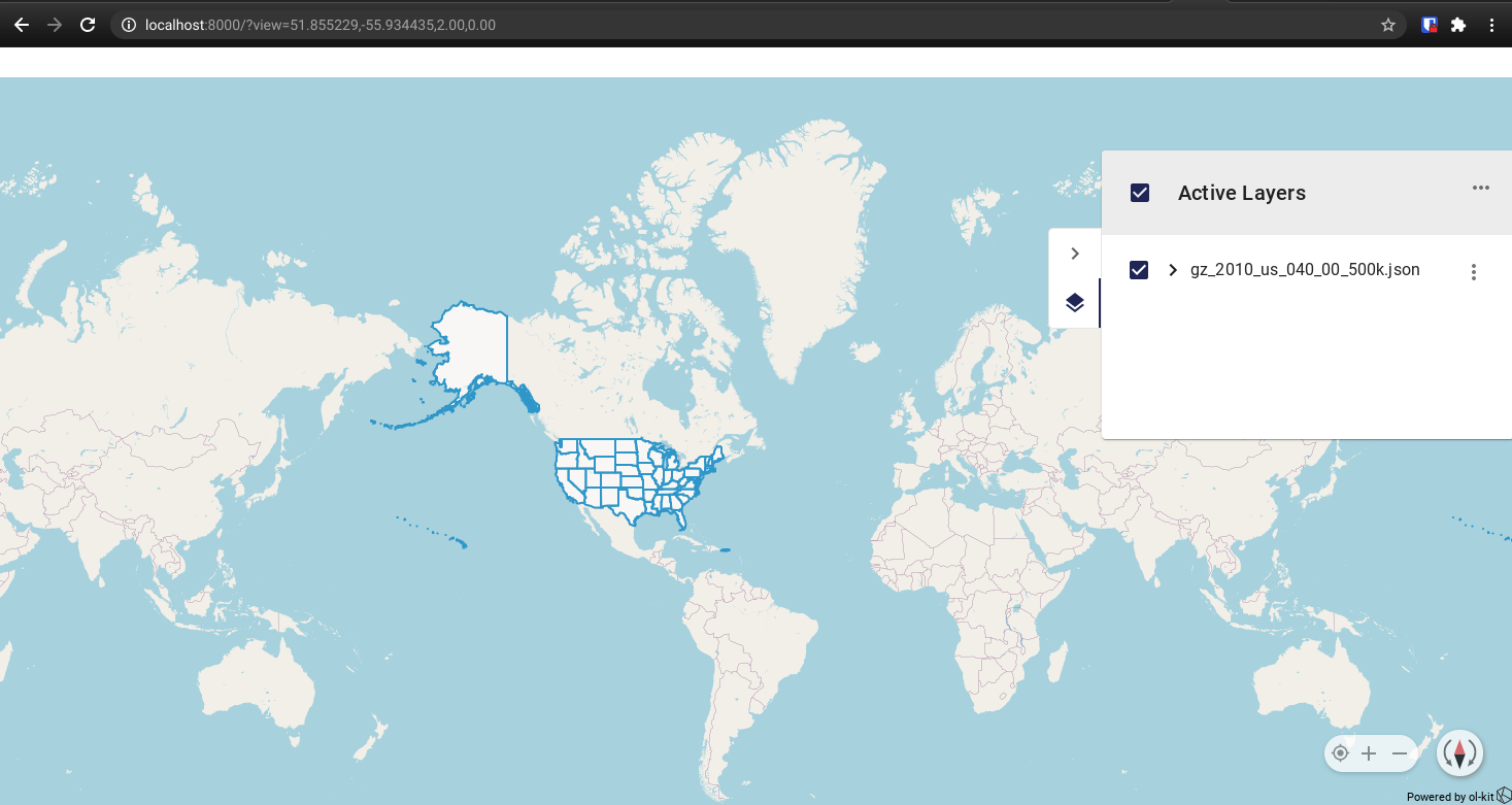
This should zoom you out to a view akin to this:
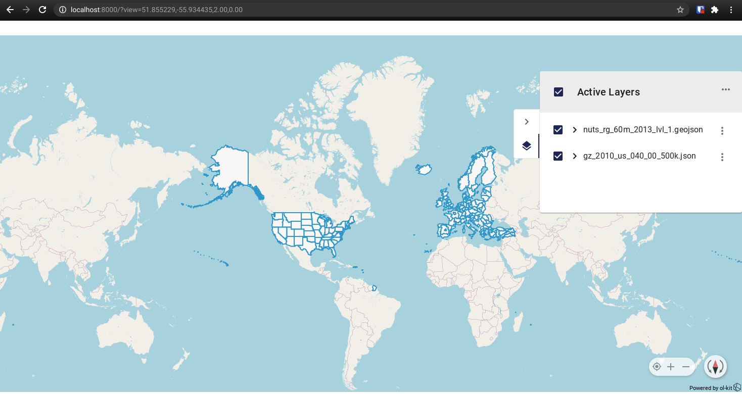
Now to add the second layer open the layer panel menu again and select import, navigate to where you downloaded the files to, and select the file "nuts_rg_60m_2013_lvl_1.geojson1", this should add the new layer to the map:
From here you can experiment with adding and removing any geojson or kml files that you have access to, there are plenty available out on the web.